
CivicStrata
Who governs here, and who votes? Districts, offices, officials, voters and parcels for a place, layered into one view of its civic structure.
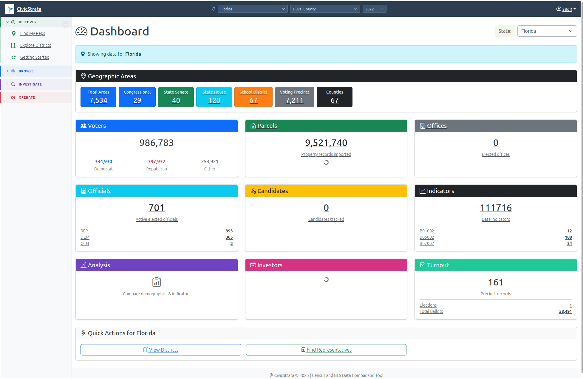
CivicStrata brings together the civic and administrative data layers — jurisdiction boundaries, government structure, public filings — that sit underneath a FAND balance sheet. Where FAND answers what a place owns, CivicStrata is the working surface for the civic-layer bookkeeping that makes those figures traceable back to their administrative source.
It is built for the same audiences as FAND itself: analysts and researchers who need to see how a jurisdiction’s civic structure maps onto its balance sheet, not just the finished numbers.
Access is by invitation during the beta — you'll sign in with the Google, Microsoft, or GitHub account we invite.